Touching a skyline with one finger
The sensory of touch can become the bridge between our corporeality and the world around us, particularly when the need arises to communicate a landscape to those who cannot see and in many cases have never even experienced the visual perception of a space as far as the eye can see, being blind from birth.
Signs, images, cities, territories, and landscapes: for most of us these are taken for granted, taken for granted, part of our everyday life and do not strike our attention unless we are confronted with new stimuli, for example, images of cities and landscapes yet unexplored.
But if we close our eyes and try to move in the darkness our certainties collapse, our control of space and of our own bodies abandons us, and a sense of precariousness takes over.Experiencing this disorienting situation is the right way to approach the real and concrete problems related to visual disabilities and to become aware that the research and solutions to be identified must meet the criteria of the Design for All, which place theinclusiveness first place to break down the barriers of diversity.
Changing the point of view, especially for those who are used to experiencing the city by looking but not really seeing, is the first step in approaching this goal with correct communication methodologies: already in 1939 expressed this concept well Herbert Bayer, in his Advertising Design.
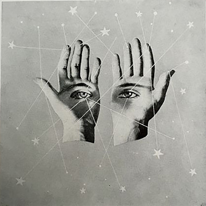
Herbert Bayer, Advertising design, 1939
Caption - Kepes G., Language of vision, 1944
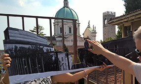
First experiences with tactile transposition of a panorama.
our vision
Vision of CITISLAB on tactile communication
CITISLAB wants to propose a tactile communication not limited only to architecture or individual objects, but also designed to convey information, descriptive data and perceptual data related to the environment and landscape, considering it a cultural value.
Until now, due to its vastness and objective difficulty in being synthesized for tactile reading, the landscape and environmental component has always been greatly neglected, even not at all considered in tactile communication projects.
This is also the case because it seems more urgent and pressing to put a blind person in a position to orient himself in the use of an object or in the autonomous enjoyment of an architectural space rather than making him or her a participant in the knowledge and emotional well-being experienced in front of a landscape view.
Therefore, if the object to be known through touch is of such a size or position that it does not allow direct contact for hand-reading, how can it be put in communication with a blind person?
CITISLAB answers this question by giving the tactile representation the value of a representative “concept” of reality, declined according to a convincing form of graphic/tactile communication that makes comprehensible what it reproduces, that is, a landscape vision.
Of the visible landscape, one can reproduce and make touch the skylines intangibles that populate the daily experience of a sighted person.
Experiments conducted with the assistance of theUICI of Brescia in previous research activities, using cardboard maquettes, have confirmed the effectiveness of this choice of translating the intangible (the skyline) into the tangible (the tactile silhouette).
Anyone who uses a visuo-tactile made by CITISLAB will be able to grasp, in addition to the shape and pattern of the skylines, the spatial depth of the highlighted elements: the mountains in the foreground will be treated tactilely differently from those in the background, and the same principle will be applied where the subject is architecture. The rules of geometry will be able to be applied in the analysis and preparation of graphic layouts and in the consequent choice of relief thicknesses and backgrounds, which will be perceived by the hands to understand “near” and “far” values. To facilitate the understanding of one’s position as an observer haptics compared to a context in our TOUCH LANDSCAPE panels include indications of distances as the crow flies from the viewing point and features highlighted by elevations.
This indication is particularly welcome to the visually impaired, as it aids their geolocation in context.

Decomposition into depth planes of a ruby landscape
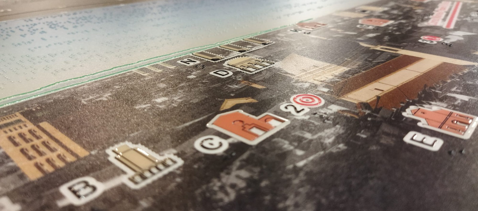
The representation of the contents and further peculiarities of a landscape is conducted by applying criteria of extreme simplification and with the help of graphic interpretations in relief “mediated”: buildings, for example, are communicated through the simple elevation in relief and not in perspective, relief lines and backgrounds are codified, some textural textures in relief may be used, with the understanding that each sign and surface is made explicit in appropriate legends.
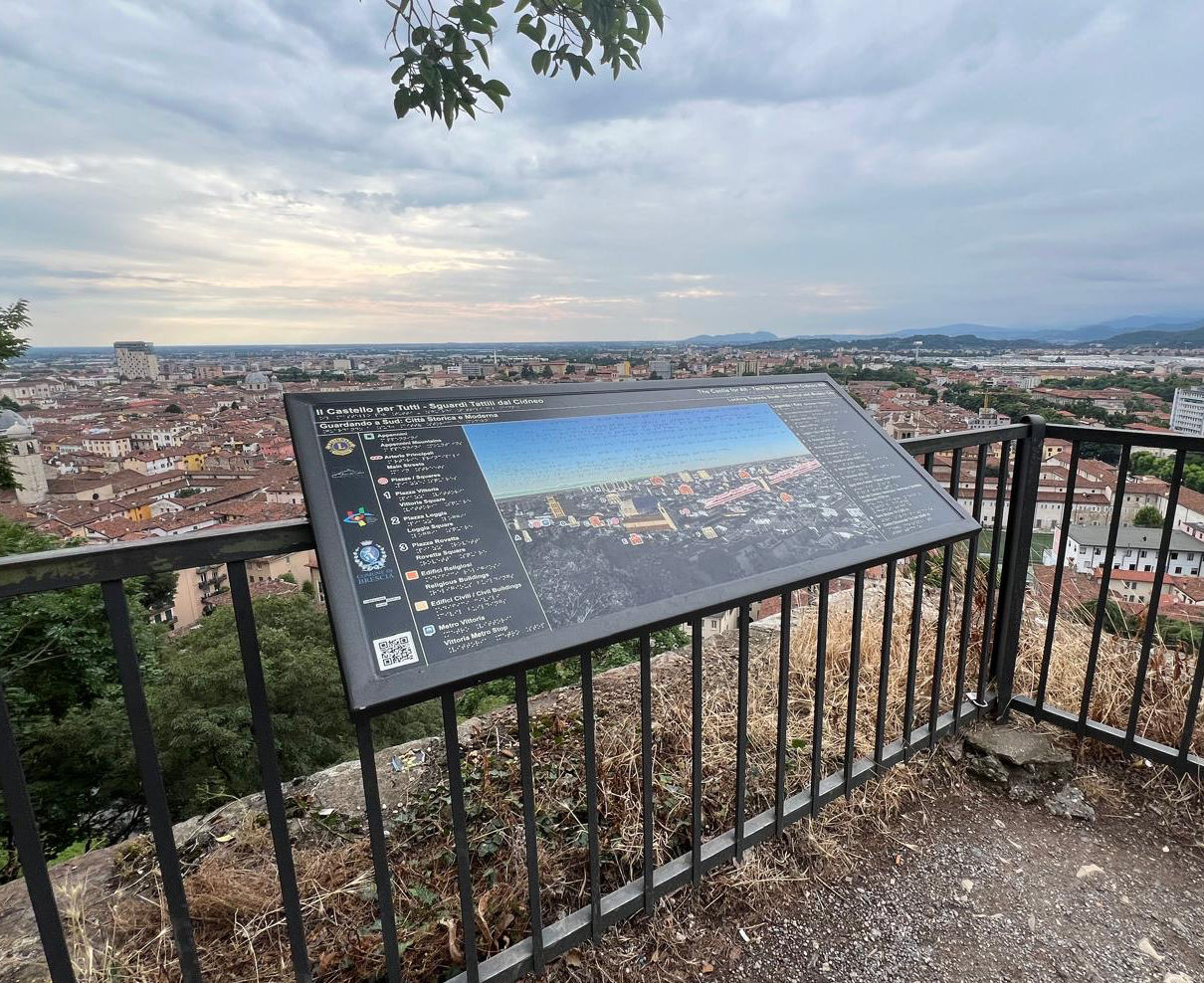
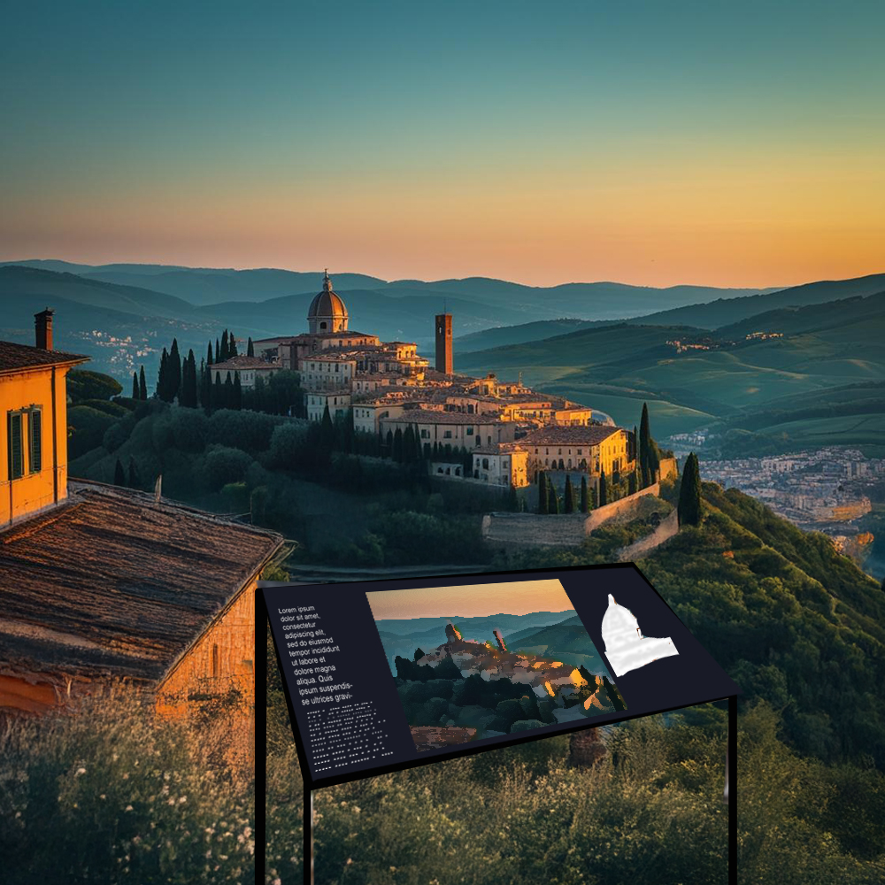
TACTILE LANDSCAPE panels can be placed on viewpoints, scenic spots and terraces, or in elevated places from which landscape views can be enjoyed and natural and man-made skylines can be appreciated. Through the use of digitally manipulated panoramic photographs, the tactile transposition of the skyline visible from panoramic viewpoints in the area is achieved.
Through raised lines and symbols, elements and points of interest in the landscape visible from that specific vantage point.
Based on the assumption that the blind person from birth has no cognition of perspective space, a method of graphic communication is used to document the location of buildings but especially their formal datum considered to be the most characterizing and descriptive, namely the main elevation. Thus, starting from survey activities and photographic data, the main elevations of the buildings can be reconstructed synthetically, to be rendered then through icons having a standard size that disregards the actual size of the building, but allows for easy tactile reading of the shapes and good perception of the two levels of relief used to render the movement of the facade and any overhangs.